Showing posts with label Oxford Hills. Show all posts

Sunday, June 21, 2026

Long Mountain 6/21/2026

With the possibility of thunderstorms today, we decided to stay away from any exposed peaks and instead headed to Long Mountain in Albany Township. The lollipop loop on this mountain is part of the Crooked Water Headwaters Forest and is about 5.5 miles long.

Start of the trail
Boardwalk through ferns
Hidden Falls
From the trailhead, we headed up alongside Mill Brook, with its many pretty cascades. At the loop junction, we went right. After continuing to climb along the brook, we reached South Ledge, where we took a snack break.
As usual, Sampson greatly enjoyed the hike!
A steeper section of trail

View from South Ledge
After climbing a little more, we crossed part of the expansive summit plateau. Soon after starting to descend, the trail reached North Ledge, where we had lunch. The views were generally pretty good, although the higher peaks in the Whites and Mahoosucs were in the clouds. Up until this point, we had seen a lot less people than usual for Long Mountain on a summer weekend.
View northwest from North Ledge
View southwest from North Ledge

After lunch, we descended back to the loop junction and the trailhead. We saw a lot more people (and dogs) on this section of trail! It ended up being a great choice for today's hike, and we didn't get rained on at all.

AllTrails Activity

Friday, May 1, 2026

Bucks Ledge Community Forest 5/1/2026

After a bit of rain yesterday, today went back to the dry, sunny, and windy weather that we have been seeing a lot of lately. We took advantage of another beautiful day by heading over to Bucks Ledge Community Forest in Woodstock. Starting from the main parking lot, we walked up the improved gravel road to the accessible trail and its viewpoint, from which are great views of Bucks Ledge. We then cut over to Mann Road, before ascending Bucks Ledge from the west.


Trailhead
Viewpoint on the accessible trail
Sampson at a trail intersection
At the top of Bucks Ledge

After pausing to enjoy the great views from the top of Bucks Ledge, we continued along the ridge line on the J n J Trail to the top of Moody Mountain. This section of trail was especially enjoyable with its multiple viewpoints along the ridge.

View along the ridge
The summit of Moody Mountain
View from the top of Moody Mountain

After another break at the top of Moody Mountain, we descended the steep trail to the logging road. Before heading up the north side of Lapham Ledge, I took a short out-and-back detour down the Echo Lane Trail, which I hadn't been on yet. It's an easy walk to Rumford Avenue and back, and makes a nice alternative entrance or connection with the elementary school. We enjoyed lunch at the top of Lapham Ledge and then headed back down to the car via the Bucks Ledge Alternate Trail.

Lapham Ledge summit sign
View from Lapham Ledge
Bryant Pond & Mount Christopher

It was an excellent day for a hike, and the trails are all in good shape. Even with a number of cars in the parking lot, we passed only one person on our entire hike, which is rare for this busy trail system!

AllTrails Activity


Friday, April 24, 2026

Oversett Mountain 4/24/2026

 Although it is a rather popular hike, today we had the trails on and around Oversett Mountain completely to ourselves! Located within the Crooked River Headwaters Conservation Easement in Greenwood, this trail network consists of very well marked and maintained trails along the Sanborn River, around Oversett Pond, and up Oversett Mountain.

Sanborn River Trail

Sanborn River

Oversett Pond 

We did today's hike as a figure-eight; starting by going clockwise on the Sanborn River Loop, taking the connector to the pond, going counterclockwise around the pond and over the mountain, and then finishing by connecting back to the Sanborn River Loop. 

Sampson at the top

View northwest

The trails were in great shape (I think there was only one blowdown the whole way!) and mud was minimal. We only saw one small patch of snow near the pond. It was great weather for hiking and there were beautiful views from the summit!

Oversett Pond

AllTrails Activity


Monday, November 20, 2023

Amos Mountain, Deer Hill Spring, Lord Hill, & Hawk Mountain 11/20/2023

With today's excellent weather, I decided to head over to the Oxford Hills and White Mountains to hike some new to me trail segments on a variety of mountains that I had been on before.
My first hike was a very short one in the Heald & Bradley Ponds Reserve. The Homestead Trail is a short trail which was a new addition to the latest edition of the Maine Mountain Guide. It was a quick out and back hike up this trail, which has some interesting foundations near its end.

Next up was another hike in the Heald and Bradley Ponds Reserve from a different trailhead. I hiked a loop up and over Amos Mountain, utilizing the Rogers Family, Heritage Loop, and Amos Mountain Trails. This was a nice little loop and I enjoyed the views west from the viewpoint on the Heritage Loop Trail.

I then drove a bit west into the White Mountain National Forest. I wasn't certain whether or not the gates on the Deer Hill Road would still be open, but they were, despite the coating of snow on the ground. This hike was another relatively short out and back, this time to Deer Hill Spring off of the Deer Hill Trail. Deer Hill Spring is a very unique spot, and the water was spurting up quite close to the edge of the pool today, so it was easy to observe up close.

My fourth, and longest hike, was nearby on Lord Hill. I drove up Forest Road 9A, a short distance past the split in the Conant Trail Loop, to park. I then made a loop via the Mine Loop and Conant Trail over Lord Hill. This was quite a nice loop through hardwood forests, with only one short steep part. I walked through the mine pit and enjoyed the view over Horseshoe Pond, before heading back down.

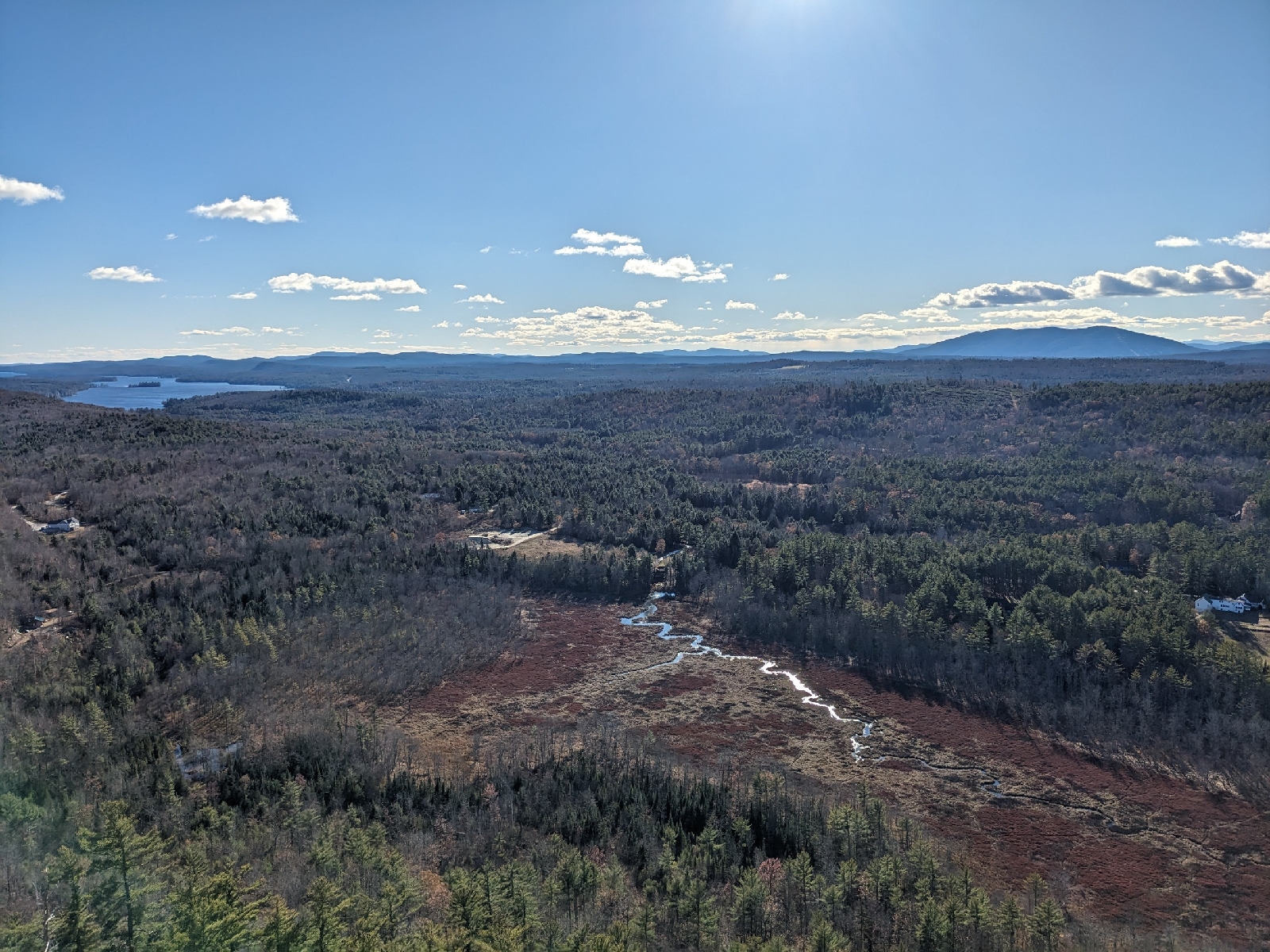
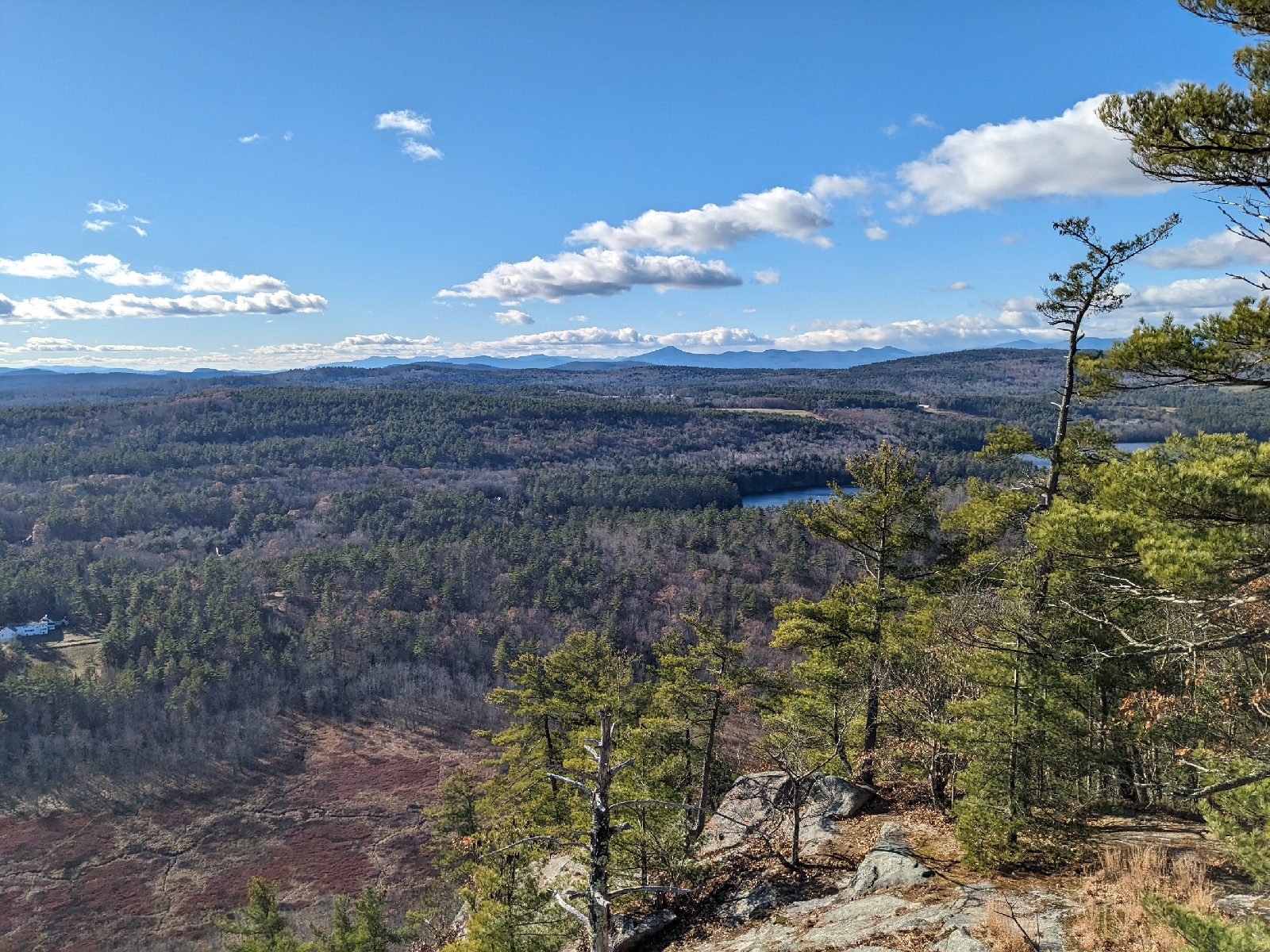
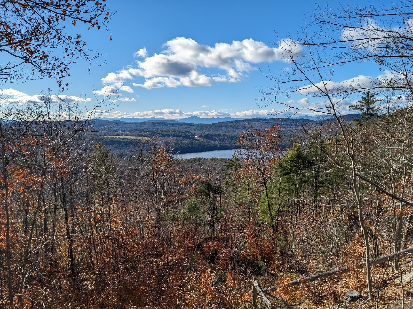
My last hike was up Hawk Mountain in Waterford. The dramatic south facing cliffs on this mountain make it one of my favorites in the Oxford Hills. Last time I visited, the Cyrus Trail was the only hiking trail that had really been cleared on the mountain. As of my hike today, it appears thatmost, of not all of the trails shown on the trail map are now cleared footpaths and not just overgrown skid roads. I ascended via the Cyrus Trail, as that was the portion of the loop described in the MMG which I had not yet done. If you aren't specifically trying to follow the guidebook's described route, I would recommend actually avoiding the described route, as the newer footpaths are far more interesting than the eroded Cyrus Trail and the fire road. I visited the summit (no cairn) and the spectacular viewpoint, before descending via the Africa & America Trails. This was a pleasant descent route which brought me past another small viewpoint looking west.