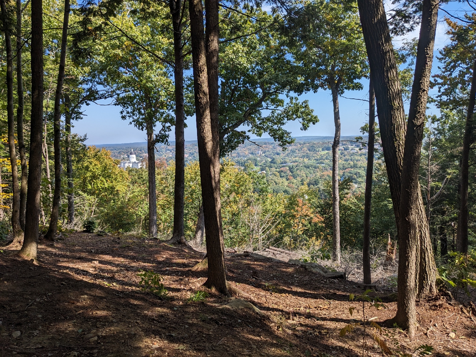
Today's first hike was at Piney Knoll Conservation Area in Orono. This property is owned and managed by the Orono Land Trust and has a nice network of trails, not far from downtown. The trail network is rather complex, and there are also unmarked trails, not shown on the map. However, it is still pretty easy to navigate, thanks to trail markings and a detailed map of the official trails. There are multiple trailheads to choose from, and I found that the ones with the best parking were the trailheads on Marsh Avenue, Colburn Drive, and Hillside Road.
 |
| Kiosk at one of the trailheads |
 |
| Trail 11 & Ridge Trail |
 |
| Trail 11 & Long Trail |
The trails mostly wind through forested uplands with a high point on a small knoll covered in large pines giving the area its name. Two of the trails end at the railroad tracks, and it seems like there are some unofficial trails on the other side of the tracks, which I didn't explore. I found the section of the Long Trail between Colburn Drive and Peter's Field to be the most enjoyable section of trail to walk in the network. The trails were relatively busy, with a variety of bikes, hikers, and dog walkers out and about. It is a nice little trail network, and it is easily accessible from the University of Maine at Orono and the many surrounding apartment complexes.
 |
| Bridge over Vinal Stream on the Long Trail |
 |
| Long Trail through Peter's Field |
 |
| Long Trail leaving the railroad tracks |
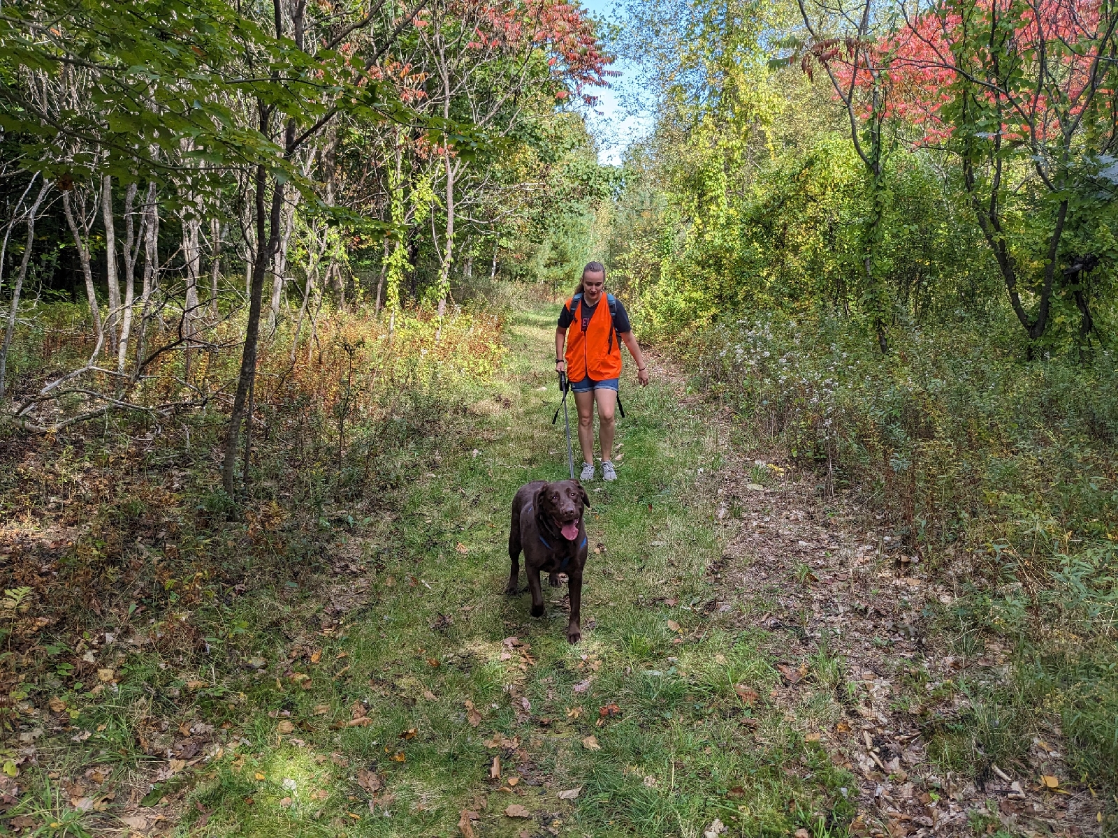
Our second hike of the day was at the Kennard Road Trails in Newburgh. This quiet town-owned trail network has two easy intersecting loop trails, each being a little over a mile in length. The trails don't seem like they get very busy, but they are well cared for with good signage and ample parking. The loop with teal blazes follows a wider track through the woods, while the blue-blazed loop mostly follows a narrower footpath. Besides hikers, this trail system also seems to see quite a bit of use by equestrians, and the teal-blazed loop seems good for cross country skiing in winter. It is a great off-the-beaten-path place for a short and easy hike.
 |
| Sign for the trails |
 |
| Signage at the trailhead |
 |
| The teal-blazed trail |
 |
| Trail intersection |