Showing posts with label White Mountain National Forest. Show all posts

Saturday, July 25, 2026

Albany Mountain 7/24/2026

On Friday, we hiked Albany Mountain in the White Mountain National Forest from the north. As usual, the trail was in excellent condition, and the beaver dam was no issue to cross.

The beaver dam crossing
Sampson at the upper trail junction

The first viewpoint looking west
It seems that this year is a bad year for mountain blueberries, due to last year's drought, and we only found a few on our hike. However, the views were excellent, and we were surprised that we only saw two other groups out on what is usually a pretty busy trail.
The summit of Albany Mountain
The view southwest at the viewpoint past the summit
The view south at the viewpoint past the summit
After the hike, we headed to Broken Bridge Pond, where we set up camp at one of my favorite dispersed sites in the National Forest. It was a great peaceful night at the campsite, and it was perfect sleeping weather!
Broken Bridge Pond
Sampson swimming in the pond
AllTrails Activity

Sunday, June 14, 2026

West Royce Mountain, NH 6/13/2026

It had been a couple years since I had hiked in the White Mountains, so yesterday we headed to Evans Notch in the White Mountain National Forest to hike West Royce Mountain. Although I've been up East Royce multiple times, I had never been up the taller West Royce. Even though our hike started and ended in Maine, the summit and much of the ascent were in New Hampshire.

Start of the Highwater Trail
Crossing the Wild River at the start of the trail
After leaving a car at the Laughing Lion Trailhead for our descent, we parked at the Highwater Trailhead, near the Wild River. Our hike started on the Highwater Trail along the north bank of the river. This trail was unexpectedly enjoyable, with impressively large white pines along the trail for quite a way. We following the trail until reaching the site of the former Forest Road 52 bridge at 3.2 miles. Here, we forded the river to the south bank.
An old mile marker along the Highwater Trail
Fording the Wild River
We then followed the Wild River Road (closed to vehicles since 2023) a short distance to the Burnt Mill Brook Trail. This minimally used trail provided a pleasant ascent up to the col between East and West Royce. It followed a beautiful brook for most of the way with lots of cascades. And, even though it got rather steep near the end, the footbed was generally soft with minimal erosion.
Start of the Burnt Mill Brook Trail
One of the cascades on Burnt Mill Brook
Burnt Mill Brook & Royce Trail junction
After reaching the Royce Trail, we climbed the steep switchbacks to the summit ridge of West Royce. This rather rugged summit ridge had beautiful spruce-fir forest and good views from multiple viewpoints. After checking out the fire tower footings and eating lunch in the shade (It was a hot day!), we spent a little time at the best viewpoint, enjoying the views to the south and east.
Signage near the summit
Fire tower footings at the summit
View east
View south
We descended the Royce Trail to the Laughing Lion Trail, which is both a very enjoyable trail and an interestingly named one. Somewhere in the last couple miles of our hike, we realized that the other set of car keys had been left in the car at the Highwater Trailhead! This unexpectedly added a 5 mile road walk back to the trailhead we had started at, but at least it was all downhill!
Royce & Laughing Lion Trail junction
Viewpoint on the Laughing Lion Trail
It was good to be back in the Whites, and we were surprised to only see two other groups of people on such a beautiful day!
AllTrails Activity


Monday, November 20, 2023

Amos Mountain, Deer Hill Spring, Lord Hill, & Hawk Mountain 11/20/2023

With today's excellent weather, I decided to head over to the Oxford Hills and White Mountains to hike some new to me trail segments on a variety of mountains that I had been on before.
My first hike was a very short one in the Heald & Bradley Ponds Reserve. The Homestead Trail is a short trail which was a new addition to the latest edition of the Maine Mountain Guide. It was a quick out and back hike up this trail, which has some interesting foundations near its end.

Next up was another hike in the Heald and Bradley Ponds Reserve from a different trailhead. I hiked a loop up and over Amos Mountain, utilizing the Rogers Family, Heritage Loop, and Amos Mountain Trails. This was a nice little loop and I enjoyed the views west from the viewpoint on the Heritage Loop Trail.

I then drove a bit west into the White Mountain National Forest. I wasn't certain whether or not the gates on the Deer Hill Road would still be open, but they were, despite the coating of snow on the ground. This hike was another relatively short out and back, this time to Deer Hill Spring off of the Deer Hill Trail. Deer Hill Spring is a very unique spot, and the water was spurting up quite close to the edge of the pool today, so it was easy to observe up close.

My fourth, and longest hike, was nearby on Lord Hill. I drove up Forest Road 9A, a short distance past the split in the Conant Trail Loop, to park. I then made a loop via the Mine Loop and Conant Trail over Lord Hill. This was quite a nice loop through hardwood forests, with only one short steep part. I walked through the mine pit and enjoyed the view over Horseshoe Pond, before heading back down.

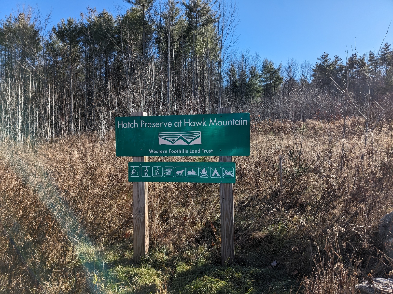
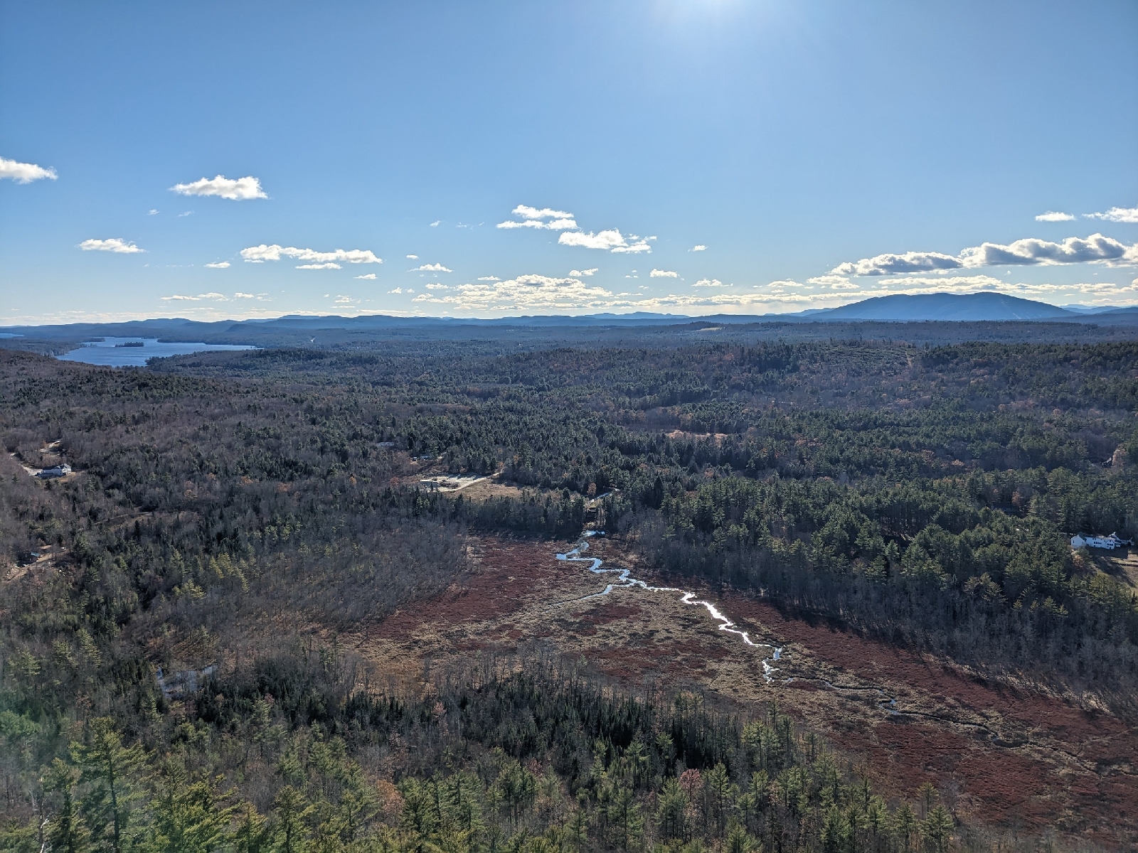
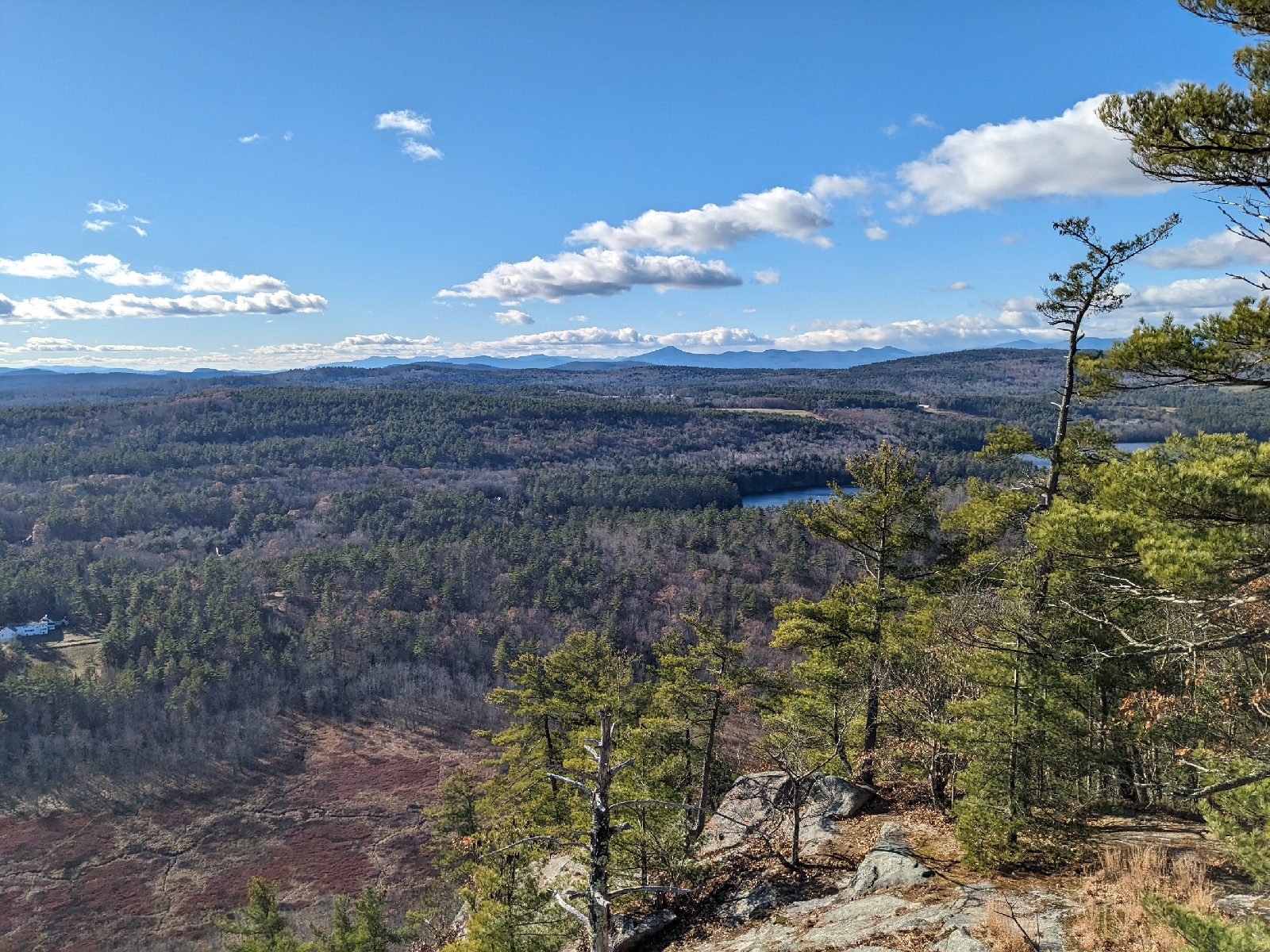
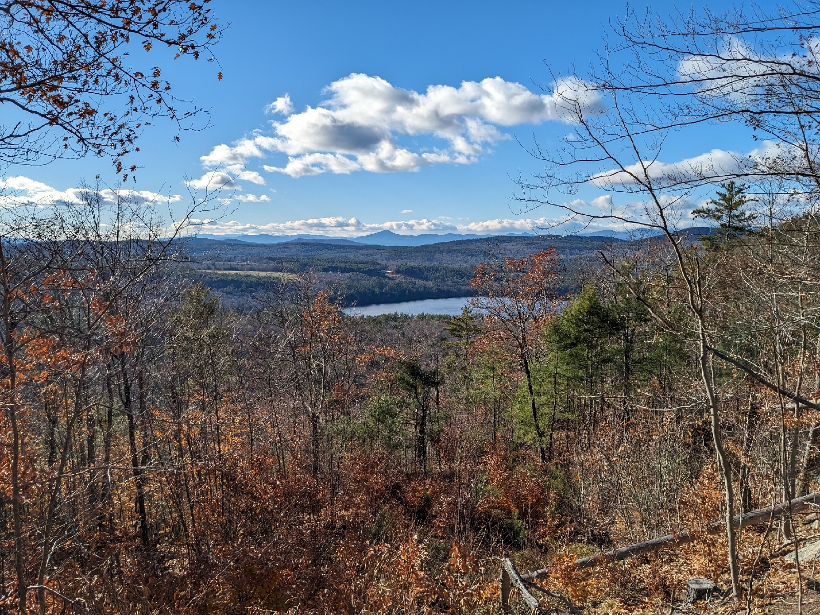
My last hike was up Hawk Mountain in Waterford. The dramatic south facing cliffs on this mountain make it one of my favorites in the Oxford Hills. Last time I visited, the Cyrus Trail was the only hiking trail that had really been cleared on the mountain. As of my hike today, it appears thatmost, of not all of the trails shown on the trail map are now cleared footpaths and not just overgrown skid roads. I ascended via the Cyrus Trail, as that was the portion of the loop described in the MMG which I had not yet done. If you aren't specifically trying to follow the guidebook's described route, I would recommend actually avoiding the described route, as the newer footpaths are far more interesting than the eroded Cyrus Trail and the fire road. I visited the summit (no cairn) and the spectacular viewpoint, before descending via the Africa & America Trails. This was a pleasant descent route which brought me past another small viewpoint looking west.