Saturday, October 7, 2023

Bald Ledge, Porter (1,187') & Douglas Mountain, Sebago (1,382') 5/6/2023

View east from the summit of Bald Ledge

Yesterday, we did two hikes in Southern Maine before heading to an event in Sebago that evening. We hiked Bald Ledge in Porter before hiking Douglas Mountain later in the day.

Bald Ledge is a small peak with a 0.7 mile long trail up it, maintained by the Francis Small Heritage Trust. The most challenging part of this hike was getting to the trailhead.

The parking area for Bald Ledge (note the road surface on the left)

The parking lot is up a narrow road, and parking is discouraged on the more major roads before it. This narrow road recently had a bunch of dirt mixed with large sharp rocks dumped on it, which was never compacted. Good clearance was a must for getting to the parking area, which was half mud itself. I imagine this situation will get better as more people drive on it to compact it.

The trail itself was well marked and relatively straightforward.

On the way up

At the summit, a clifftop viewpoint provides a beautiful view east over Colcord Pond to the surrounding hills. This hike is now included in the Maine Mountain Guide, and it's a great hidden gem.


After lunch, we headed to Douglas Mountain, and hiked a loop over it, utilizing the Ledge & Eagle Scout Trails.

The Ledge Trail trailhead on Douglas Mountain 

The mountain wasn't particularly busy, which was unusual for Douglas Mountain, and we had the summit to ourselves for quite a while.

The summit tower on Douglas

Although there were lower clouds in the distance, we were treated to good views over Sebago Lake to the east and of the mountains to the north. This hike completed the last few sections of trail on Douglas that I had not yet done.

Thursday, October 5, 2023

Moxie Bald Mountain (2,629') & Moxie Bald North Peak (2,350'), Bald Mountain Twp. 10/5/2023

Moxie Bald's North Peak


Today I made my way up to the Moxie Pond area to return to Moxie Bald Mountain, this time starting at the Troutdale Road, instead of the AT Road. The bridge across Austin Stream on the Troutdale Road is still closed, and looks like it will be for some time, but the trailhead is easily approached from the south via the Stream Road from Moscow.

Signage at the trailhead

I chose to do this hike today because we haven't had much rain in a while, and the crossing of Baker Stream just after the trailhead is rather notorious for being a difficult one. It turned out this was a good choice, as the wide crossing of the stream was rock-hoppable without much issue today.

The crossing of Baker Stream

The first few miles on the AT were quite easy, and it wasn't too long before I reached the Bald Mountain Brook Lean-To.

Bald Mountain Brook Lean-To
 
 
A waterfall near the lean-to

After the lean-to, the trail crosses AT Road, and soon starts to climb steeper. I first visited the main summit, where the view south was blocked by a fog bank, but there were some views north and west.

The summit with footings from the former fire tower

View across the undercast to the west from the summit

I then continued on to my favorite part of the mountain, North Peak. The exposed alpine ridge and windswept summit are spectacular and rare for a mountain with this elevation.

The northern ridge of Moxie Bald

As expected, it was extremely windy on the ridge, but there were excellent views all around, including some undercast views to the south.

At North Peak

Looking back towards the main peak

The view west from North Peak

The view north from North Peak

After spending a while on North Peak, I descended via the AT and the Summit Bypass Trail.

Remains from the fire watchman's camp at the junction of the AT and the Summit Bypass Trail

Moxie Bald never fails to impress, and I only saw 2 other people during the entire 12+ mile hike.

Wednesday, October 4, 2023

East Nubble, Bigelow Twp. (2,439') 10/4/2023

The view north from near the summit
Hiking East Nubble in the Bigelow Preserve has been a goal of mine for about 3 years now, and today I finally got around to doing so. I knew that the hike would likely be a bushwhack most of the way, but also that there were rocky outcroppings at the summit, which were likely to provide spectacular views.

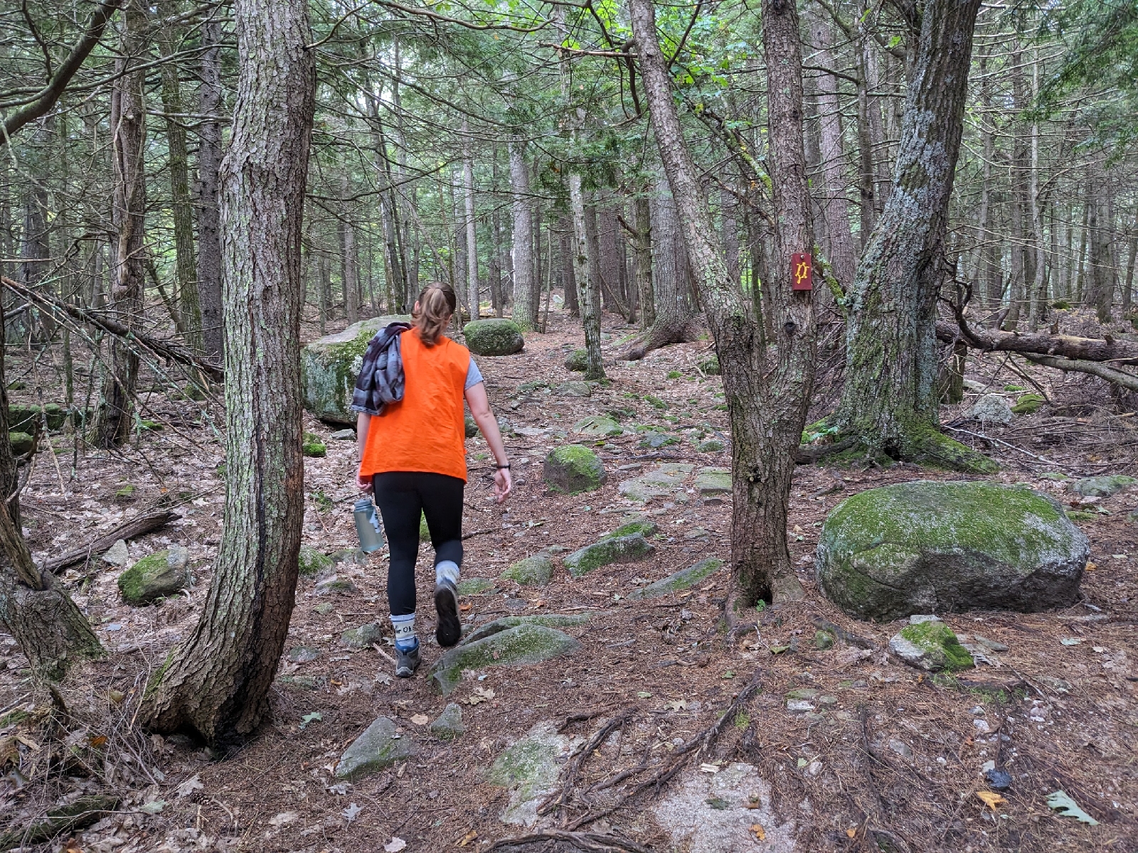
We started near the end of a side road off of the West Flagstaff Road, and started hiking up an old grown-in road. 

The first old road that we hiked on
We followed this road until it crossed Cold Brook, where we turned east along the brook.

Cold Brook
We bushwhacked along the brook for a bit, and the going wasn't too bad, although we did have to keep crossing the brook over and over. At the point where an old road came relatively close to the brook, we decided to cross over to the old road and see what it was like.

A huge hemlock
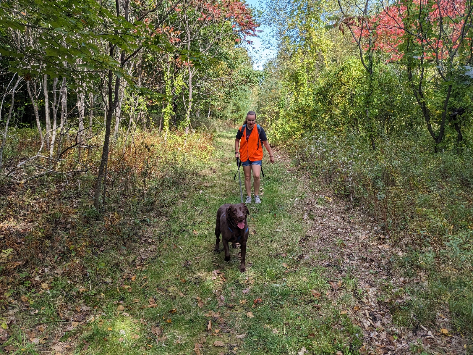
It turned out that most of the growth on the old road was ferns, so we decided to follow it around to a saddle on the east side of the mountain. 

The second old road that we followed
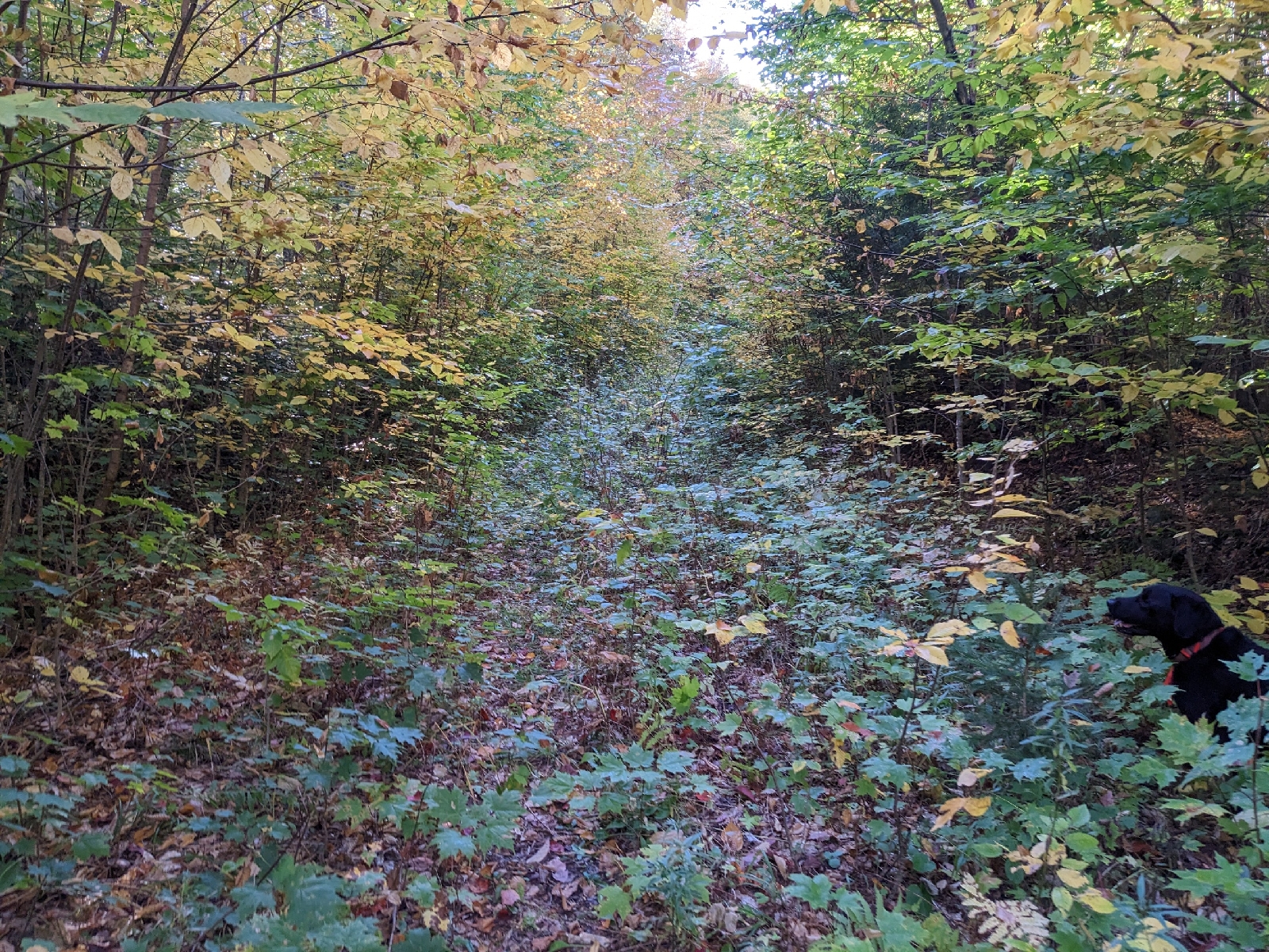
In the saddle, we started bushwhacking north, and soon started up the steep side of the mountain.

Foliage in the saddle
This section was interesting, alternating between open hardwood forest and dense softwood forest. We eventually came to a ledge band, where we had to find a creative route up the ledges.

A shelf which we followed up the ledges
Above the ledges, we attained the narrow ridgeline, which we follow west through softwood forest to the summit.

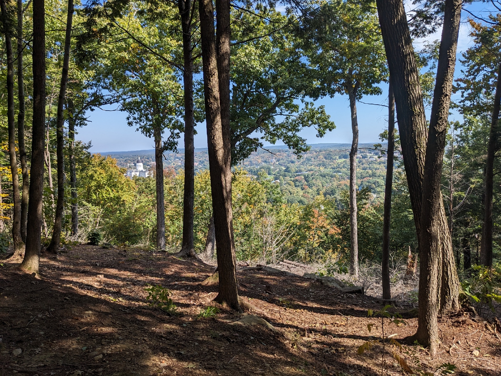
There are two viewpoints from rocky outcroppings near the summit. One is right at the true summit and features a view north and west towards Cranberry Mountain and Stratton.

Cranberry Peak from the summit
View towards Stratton from the summit
This viewpoint is where the summit logbook is located in a jar, and there is better seating there.
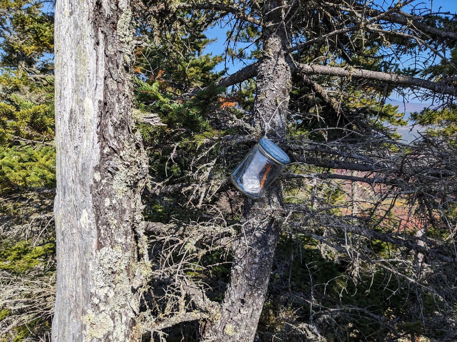
The summit register
At the summit
A short distance north is an outcropping at the top of a small talus field which offers a spectacular view north and east over Flagstaff Lake.

Looking along the Bigelow Range
You have to be a little more creative to find a seat here, but the outstanding views are worth it. T
his northern viewpoint is where we decided to stop for awhile and eat lunch.

Me at the northern viewpoint
Looking north across Flagstaff Lake
Our plan was to follow the western ridge of the mountain on the way back. We discovered that there was a faint, but discernible trail leading down this ridge from the summit.

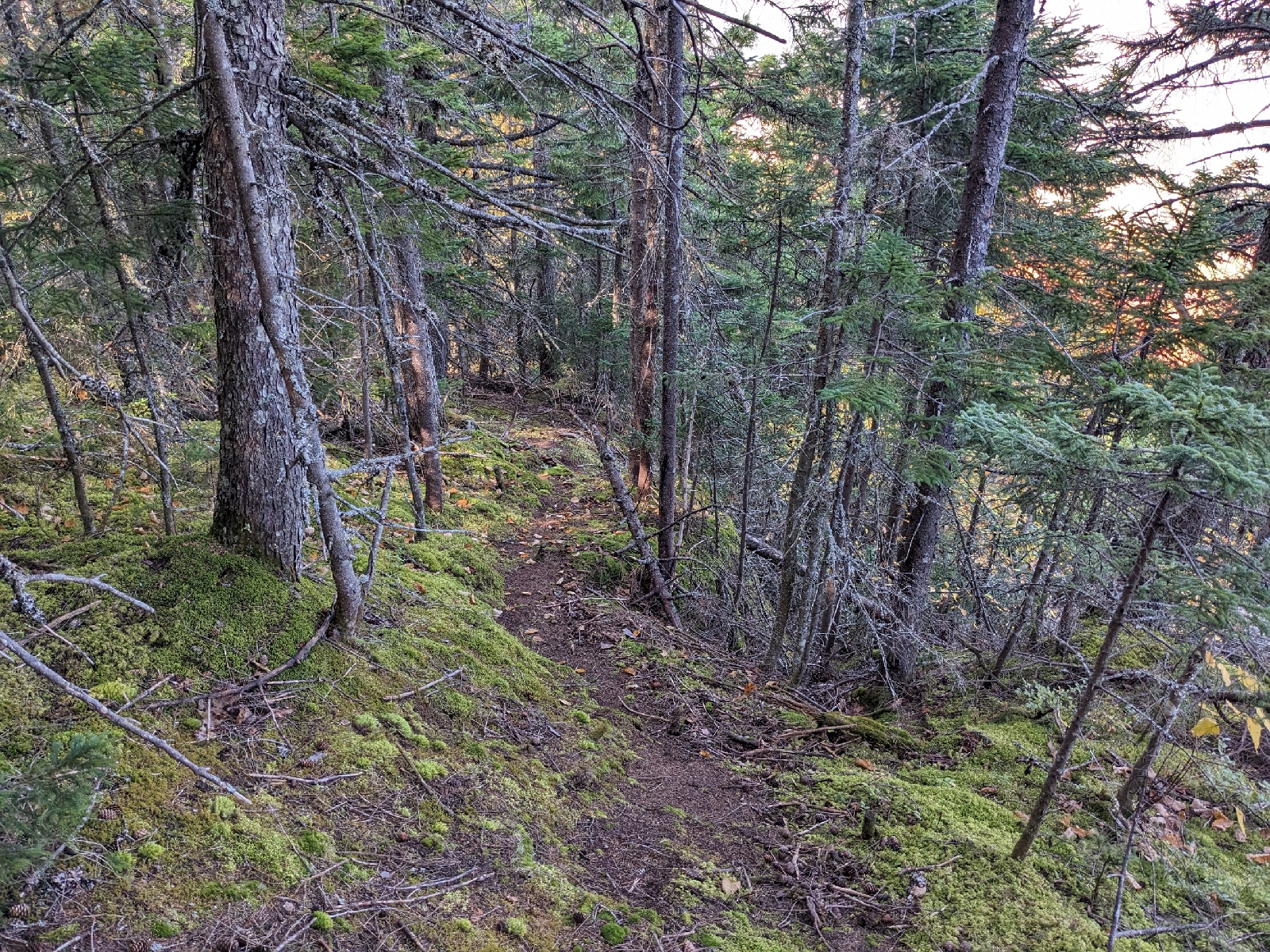
The trail on the western ridge
The trail was very lightly used, not marked in any way, and had numerous blowdowns, so it was quite tricky to follow. However, we were able to stay on it, more or less, until entering the hardwood forest, where logging had wiped out any trace of a trail that might have been there. From here, we followed a brushy old skid road down to a log yard on the road we walked on earlier in the day. From this point, we simply retraced our steps down the old road back to where we started.

I'm glad that I finally got the chance to do this hike, and the spectacular views and peak foliage made it well worthwhile. It goes to show that there is so much more to our public lands in the state than the developed recreational assets shown on the maps!

Tuesday, October 3, 2023

Howard Hill, Augusta (482') 10/3/2023

With a trailhead located only a couple blocks from the State Capitol building, a well maintained network of trails, and nice views of the city, Howard Hill is an excellent place for a hike within the city limits of Augusta. This Hill is included in the newest edition of the Maine Mountain Guide, and we followed the loop described in the guide today. It's a nice lollipop loop which brings you past both viewpoints and over the summit of the hill.

Sewell Ave Trailhead
A section of well-built trail
The trails had excellent signage
The first viewpoint towards the Capitol
The second (southern) viewpoint
Another angle from the same viewpoint
Sierra & Millie near the summit
The summit